Okay, so doomsday scenario numero uno:
Bangladesh’s population is approximately 89% Muslim. India,
which borders Bangladesh is 80% Hindu. As you may already know, Hindus and
Muslims do not have the friendliest of histories. Assuming sea level continues to
rise as quickly as it has been, Bangladesh is going to be pretty much
underwater at a certain point. The Bengali people will ultimately cross the
Indo-Bengali border to seek refuge. Recall, India has an extremely dense
population as does Bangladesh and their two cultures have not always gotten
along. The possibility of wave of immigrants crossing the border and the
already tenuous relationship between the two countries could spark a war.
Bangladesh is already besieged annually by river flooding
during the monsoon season. As I explained in previous posts, the Bangladesh’s
most important urban areas are sitting right next to these volatile river
zones. On top of that, Bangladesh is not a stranger to the effects of Tsunamis.
The 2004 Indian Ocean Tsunami did touch Bangladesh. However, the casualty rate
was extraordinarily low- two children were killed when their boat capsized in
the surge caused by the tsunami. I had thought a tsunami with an epicenter so
close to Bangladesh would cause far more damage. I examined the part of the bay
touching Bangladesh more closely and I watched a swell model of the tsunami
several times. This was when I realized that even though the epicenter was very
close to Bangladesh, it is enclaved far enough back and in between the Indian
continent and Myanmar that the wave slammed into Myanmar and India while what
was left of that waved squeezed between and focused its energy on the coasts it
had already hit. It is hard to describe accurately so I am including the link
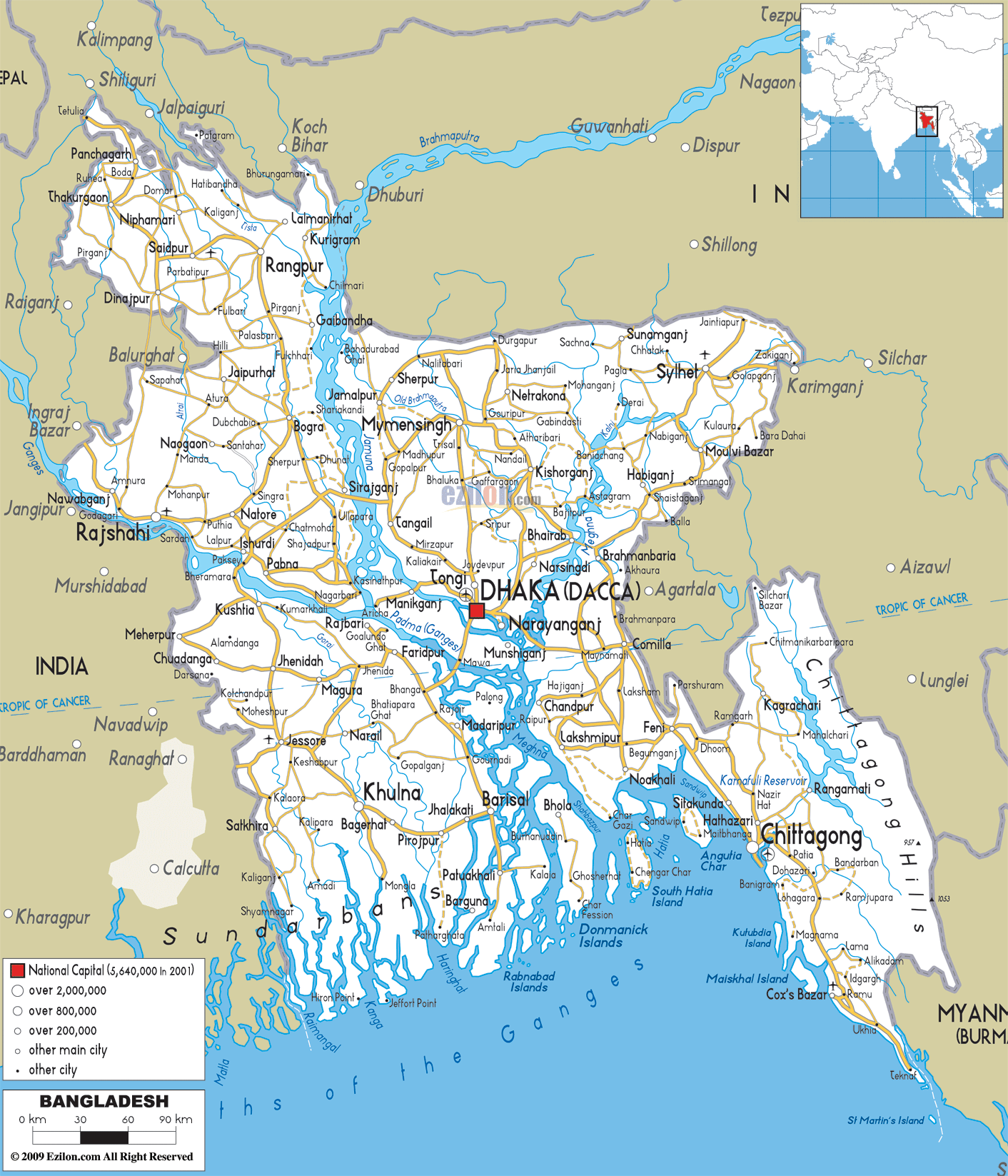
to the swell model I looked at. I am also including a basic map so that the reader
can see Bangladesh’s position further back from the more damaging part of the
tsunami.
Interestingly, it was the occurrence of the 2004 Indian Ocean
Tsunami which sparked the world’s interest in building up a tsunami warning
system. I myself have benefited from this system, although I was already far
at sea. Basically it is like an amber alert over radio channels which are triggered
by satellite data and seismometers. Much of the information gathered by these
satellites derives from a system of buoys at sea. The idea behind a tsunami
warning is to get people to evacuate endangered areas. However, as with many
natural disasters, people are often unwilling to leave the comforting confines of
home even if that means they will likely die. I found and read an interesting
article detailing the success rate of tsunami warnings in Bangladesh which categorized
groups of evacuees by demographics. It charts the reasons why people ignored
the warning and how many responded. It also charts how evacuees heard or saw
the warning which is excellent data to have because if a tactic was more
visible or audible, those issuing the warning will hopefully use that more
often than the warning which went un-heeded. It eventually presents data
regarding the shelter experience of those who made it to the shelters. All in
all, it seems that the system is in place and could provide really high rates of
survival and success if people would only heed the warnings.
Let’s revisit the end of the world due to natural causes. If
Bangladesh were to experience more serious effects of a large tsunami which of
course would not be unexpected due to the seismicity of Bangladesh and its
surrounding areas. India would probably get hit as well due its proximity and
the length of its coasts (larger target/more surface area to be affected). The
big question remains: what happens to the people who get displaced?- not
including the people killed initially by disease, starvation or physical
contact with the tsunami. Everyone near the coast will either be killed or
forced to move north into areas such as Dhaka (which may already be suffering
from seismic damage or flooding in the river valleys) or the west/east into the
surrounding Indian Territory. Keep in mind India will already be negatively
effect on its own coasts. Factor in the issues over water, border crossing
control and cultural tensions and I think we have a very volatile and dangerous
situation.
Some creative assistance from Dr. Peter DeCelles
very neat animation Clare! I have to ask, how and when did you benefit from a tsunami warning system?
ReplyDeleteI was out sailing in the channel islands when we got the warning over the radio and we all had to put on fireflies and life vests and tie everything loose down in case we got hit with the surge hard enough. I don't think we were really in danger but it was a good drill to go through.it was the summer of 2004 which was right before the Indian ocean tsunami that December.
ReplyDelete